
Geography - North America & Central America
Tips & Tricks for Memorizing Countries in North America & Central America


I’m sure you’re wondering what those pictures above are for. We’ll get to that in a little bit. But first, welcome back to this series on geography.
In the first post on this topic, I showed you some easy ways to remember distances around the world.
The next post gave you some tips on memorization.
Now, we’re going to use some of those tips (namely using creative images/stories) to memorize countries around the world. We’ll start in North America, work our way down through Central and South America, then jump over to Europe, down to Africa, then over to Asia. After that, we’ll work on some of the tougher little islands around the world.
A pretest
OK, I know no one likes tests, but if you really want check your progress before, during, and after this little adventure, you can go to this website or this website to take a quiz on country names/locations across the world. I encourage you to take it now, then again as we progress across the continents—hopefully you see a big improvement! For a quiz on just North & Central America, go here.
North America
The North America region includes Greenland, Canada, the United States, Mexico, Central America, and the Caribbean.
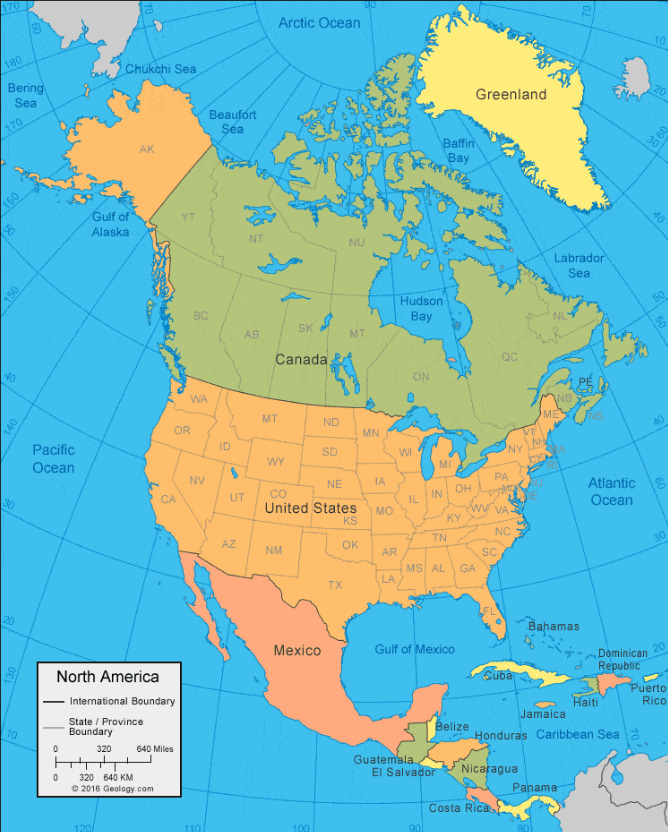
Throughout this adventure on learning country names and locations, there are going to be some countries I expect you to know without any special memory techniques. North America has quite a few examples of this. I’m just going to assume that you know where Canada, the United States, and Mexico are located.
We’ll address the Caribbean later, as there are many islands there that I don’t want you to get bogged down with right now.
Which leaves us with Greenland and Central America.
Greenland
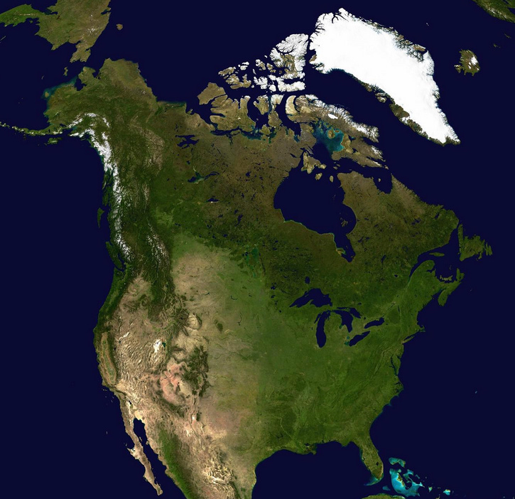
Greenland, which is actually a territory of Denmark and not a separate country, is easy to remember because it’s way up north of Canada and has an ironic name. This is the place that Erik the Red went to after being exiled from Iceland. In an effort to attract settlers by downplaying all the ice on the land, he called it “Greenland,” or so the story goes. Clever on his part, though his marketing tactics didn’t necessarily work, as only about 56,000 people live there today—which is roughly the size of the undergraduate body at the University of Texas at Austin.
Notice all the green in Greenland (it’s the big white one in this satellite image):
For size comparison, the picture below shows you Greenland overlaid onto the US.
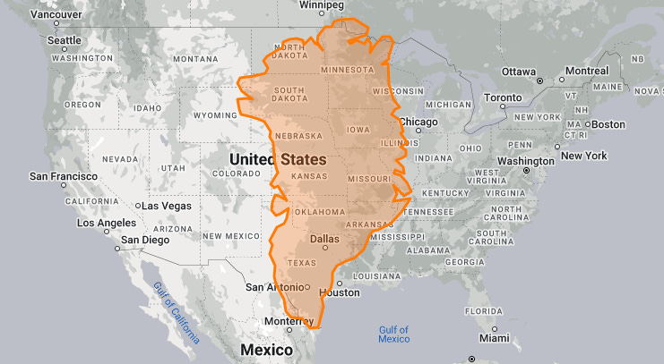
So, if you’re looking for “land, lots of land, beneath the starry skies above,” then Greenland is your place! If you’re looking for actual green land, then you may want to move farther south.
St Pierre and Miquelon
I’m going to skip over the French dependency of St. Pierre and Miquelon, which is a small island archipelago just off the coast of the Canadian island of Newfoundland. Who knew the French still were trying to keep a foothold in North America…just 500 miles from Maine? Even though we’re not going to remember your name, St. Whoever You Are, we’re still keeping our eye on you—so don’t get any ideas.
Central America
There are seven countries in Central America: Belize, Guatemala, El Salvador, Honduras, Nicaragua, Costa Rica, and Panama.
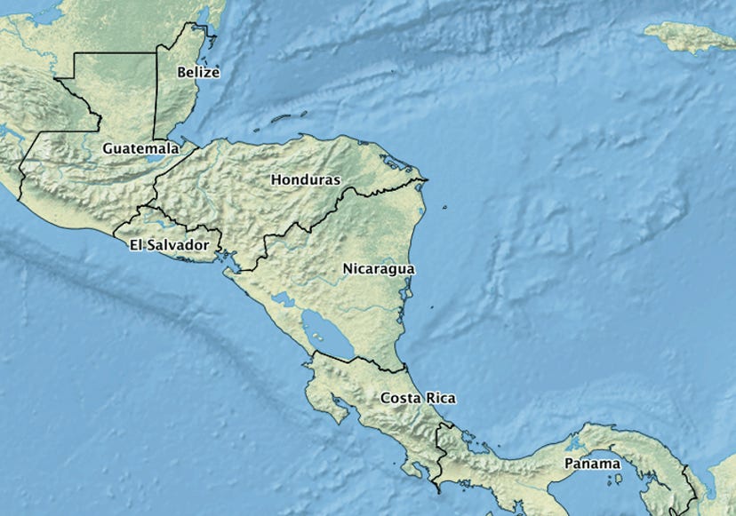
The fictional story I use to remember the location and order of these countries is about my mom who decided she’d try to drive to South America; she made it all the way to Panama, then tried to cross the canal in her Honda. Unfortunately, she left the door open on her car and it flooded, which is going to cost a lot to fix, so I need to get to her to give her money.

I know, that’s long, and sad. Here’s the short version, which is sort of sing-songy:
I believe I need to get to mama, to save the door on her Honda.
Why? In car is agua, the cost is rich, so I must pay mama.
Here it is aligned with the countries:
Belize - I believe. Belize is vertical, making it look like an “I.”
Guatemala - get to mama
El Salvador - save the door. El Salvador kind of looks like the door on the car of Honduras.
Honduras - Honda
Nicaragua - Why? In car is agua (water). Nicaragua looks like the top of a “Y” (as in “why?”)
Costa Rica - the cost is rich (i.e. expensive…I know, not perfect grammar)
Panama - pay mama

I believe I need to get to mama, to save the door on her Honda.
Why? In car is agua, he cost is rich, so I must pay mama.
Here’s that link to the quiz on North & Central America, in case you want to try out what you’ve learned. (the quiz will ask you about Jamaica, Cuba, Haiti, and Dominican Republic, so don’t feel bad if you miss those…like I said, we’ll cover islands later).
And, in case you want to print out a map of these countries to quiz or share with others, you can get them here.
Do you have a way that you remember the countries of Central America? If so, leave it in the comments section!
Keep in mind that the more outlandish the image or story, the easier it usually is to remember the items in it.
The next post will be on South America.
WOMP fucking womp